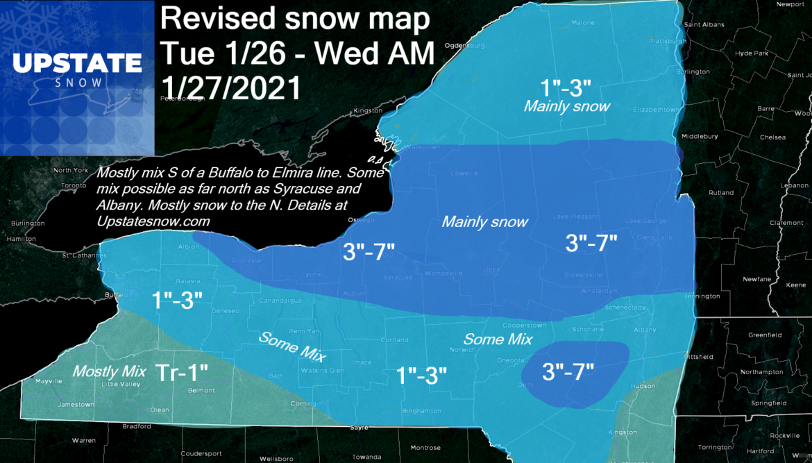
Revised snow map based on latest analysis of the regional radars and model runs. There’s a lot more discrepancy in the short term models than usual. That’s why you are seeing a variance between your favorite sources of weather information. My bottom line is this: I’m not comfortable with the radars and model disagreements to push over 7″ on this one. 7″ is my max. Yes NAM could verify with the colder air and more moisture and if it does the higher forecasts will win. I am always leery of the mix line… it ALWAYS goes more N than forecasted. Always. When you have strong tornadoes in Alabama and 70s in South Carolina, and the warm air is riding up from that region, it’s not going to cool aloft to 32 F a mile over Upstate NY that fast. And if the warm layer aloft goes farther than my forecast line, the bust potential increases significantly. As it is I have to disappoint snow country in WNY and cut amounts S of Buffalo today/tonight. The increase goes to places that truly need it: CNY, and Capital Region N of Albany. Clubs in Eastern NY and the Southern/Eastern Adirondacks will get what they need to get back to business. Yes this forecast is conservative but I’m guided by training and experience (not the forecasts of others) and a strong desire to not over forecast snowfalls, especially in a low snow winter like this one.
So mostly mix across south and west of a Buffalo to Elmira line, some mix north of that line but still possible Buffalo/Rochester areas, Finger Lakes, Binghamton area and Catskills to just S of Albany. North of I-90 and East of I-81 still expecting mainly snow. Subject to change but this is my best shot.

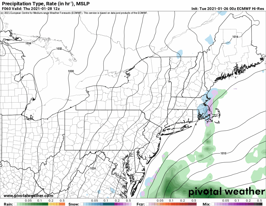
Looking ahead I saw some comment about the rumblings for next week. Yes it’s an active pattern but compare this run of the Euro to yesterday mornings run. This is textbook why you don’t scream big storm for sure with numbers over a week out. When you look at models at this range, 7 days or so, the trends per model run are what’s more important rather than specific low placement and/or specific timing and/or specific amounts. You have to get inside 84 hours (3 1/2 days) and take your mesoscale models plus the big models like GFS and Euro before a scientifically sound detailed forecast can be made on upcoming storms… and even then. like today, can still be subject to change:
Bottom line: GET OUT AND ENJOY WINTER! When the music stops and you have to sit down, hopefully winter will have a seat to sit in, but don’t count on it just yet. Not the way this year is going. Thank the clubs, ride safe, stay safe and healthy.


