The Morning Blog 01.26.21
Tuesday, 26 January 2021
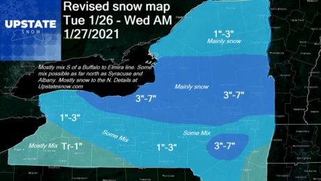
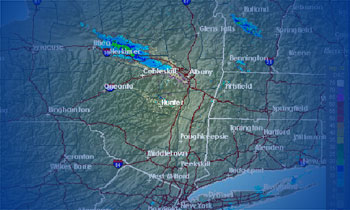
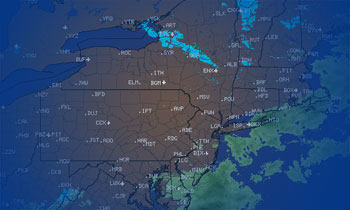
Revised snow map based on latest analysis of the regional radars and model runs. There’s a lot more discrepancy in the short term models than usual. That’s why you are seeing a variance between your favorite sources of weather information. My bottom line is this: I’m not comfortable with the radars and model disagreements to
- Published in Weather
The Morning Blog 01.25.21
Monday, 25 January 2021
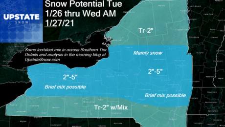
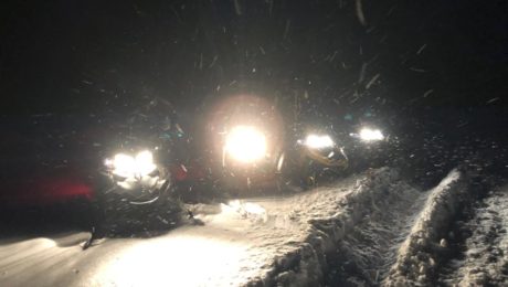
General snows will move in tomorrow to refresh a lot of the state snow pack… and bring (hopefully) enough to areas wanting to get open but the snow cover is just too thin. The expanding of the playground for snowmobilers has definitely helped, especially because sled traffic has been heavy EVERYWHERE. Even during the weekdays.
- Published in Weather
The Morning Blog 01.21.21
Thursday, 21 January 2021
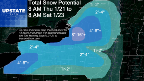
Another two days of snow to go across a lot of Upstate NY. Some will get a little. Some will get a lot. We have two separate weather systems, the clipper coming through today with lake effect behind it this evening through tomorrow, then very little break before our big cold front comes through with
- Published in Weather
The Morning Blog 01.20.21
Wednesday, 20 January 2021
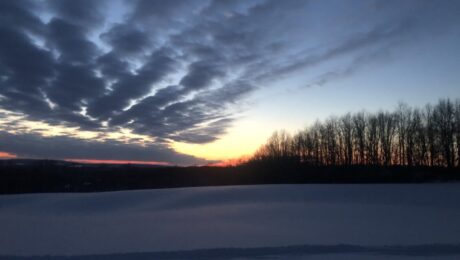
Clouds and snow showers will continue for the next few days. For now the heavy lake effect is tapering off. Locally you may see a few additional inches, especially in persistent squalls. Like yesterday, breaks of sun are in the offing, especially this afternoon. Could be a nice sunset! Tonight it will be clear at
- Published in Weather
The Morning Blog 01.19.21
Tuesday, 19 January 2021
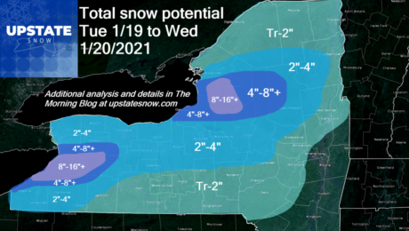
What we’ve been waiting for is here. Another lake effect event underway, already pounding Buffalo and the southtowns as of this writing, stretching even into the southern suburbs of the Rochester area. Soon to fire up over the Tug Hill and western Adirondacks again. A decent snow map for accums over the next 24-30 hours.
- Published in Weather
The Morning Blog 01.18.21
Monday, 18 January 2021
We are back in business! A lot more territory is open for snowmobiling than last week and more miles of trails are likely to be added this week. While snowfall amounts have overperformed and we have snow still coming down today, especially in WNY S of Buffalo, the temperatures still remain mild. The combination of
- Published in Weather
The Evening Blog 1.14.21
Thursday, 14 January 2021
It’s time to get excited about snow! This is an unusual statement for January, as it’s our coldest and snowiest month, but after a two week snow drought, and with the exception of day and change, a sunshine drought, we are finally, at least temporarily, turning the corner and getting into a better weather pattern
- Published in Weather
The Morning Blog 01.13.2021
Wednesday, 13 January 2021
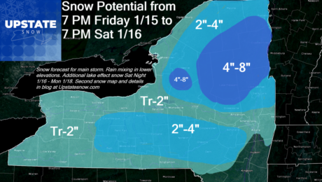
There is hope on the horizon. Starting this weekend there will be a change in the weather pattern that will lead to better lake effect snow chances and colder temperatures. It’s not exactly what you want or what we need (Big Nor’easter followed by bitter cold temps falling below zero at night for several days
- Published in Weather
The Morning Blog 01.09.2021
Saturday, 09 January 2021
Since it has been a very quiet week for Upstate NY, lets look ahead for the next week or two and see if we will stay in the doldrums.
- Published in Weather

